Physical Address
304 North Cardinal St.
Dorchester Center, MA 02124
Physical Address
304 North Cardinal St.
Dorchester Center, MA 02124

The greatest, the least, and others in between.
The greatest, the least, and others in between.
Carlos M. Meléndez is Vice President of Operations of Maxar Intelligence, Puerto Rico, a world-leading geospatial intelligence firm.
Imagine the scene: You’re driving in an unfamiliar city and use Google Maps on your iPhone to get directions to your next meeting. But you don’t just want to know how to get from point A to point B. You want to know what historical landmarks might be in the area or the closest river for a walk when you have some downtime. So, you open the 3D mode of the app, which allows you to explore the city in more detail. Thanks to the power of 3D geospatial data and advanced technologies, we’re able to have a detailed view of many areas of the world, right at our fingertips.
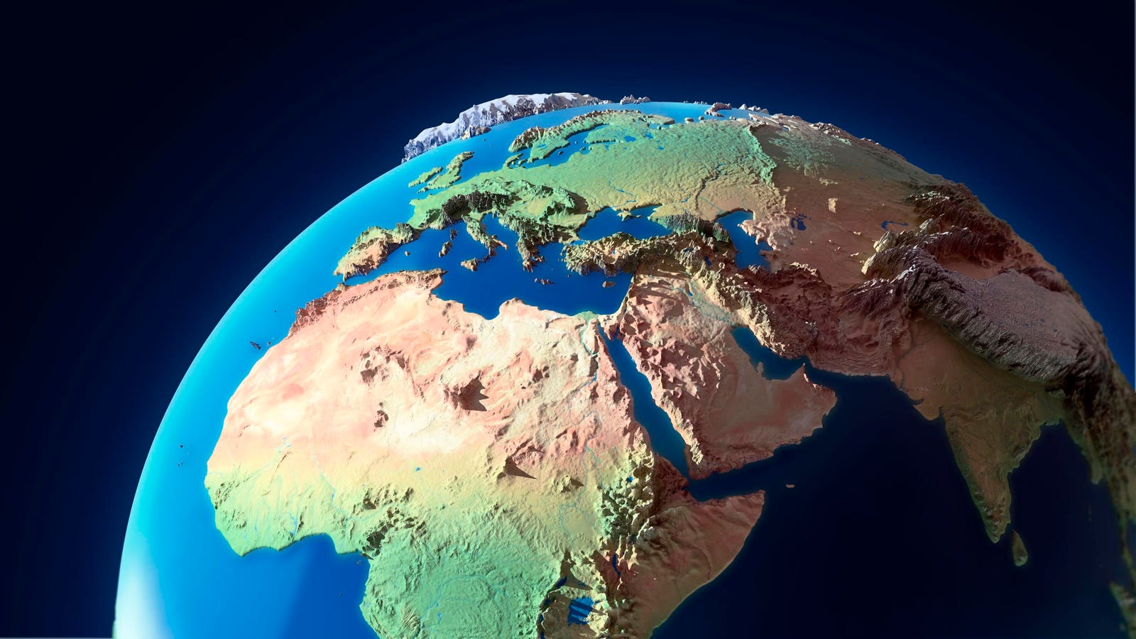
3D geospatial data provides geographical information in three dimensions, showing real-world objects such as buildings, terrain, waterways and infrastructure in vivid detail. This type of data is often created through geographic information systems (GISs), remote sensing or photogrammetry technologies.
3D mapping technology leverages machine learning algorithms trained on satellite images and aerial photography to classify objects and create a 3D view of them, which is then plotted onto a map of the physical world. 3D represents the next generation of geospatial data, providing a richer, more accurate representation of the real world.
Geospatial 3D data is created by combining data from different sources to transform raw spatial information into detailed 3D models using key technologies such as GISs, remote sensing, photogrammetry and LiDAR (light detection and ranging).
• Geographic Information Systems: GISs allow you to analyze and visualize 2D and 3D data, satellite imagery and sensor data to generate 3D models while enabling the management of geospatial databases that can be updated as new data is collected.
• Remote Sensing: Satellites or other remote sensors capture Earth’s data without direct contact across different wavelengths, including visible light, infrared and radar. Remote sensing technologies like synthetic aperture radar (SAR) are often used to create a 3D model, especially in regions that may be difficult to monitor because of darkness or obstacles such as mountains or buildings.
• Photogrammetry: Photogrammetry involves taking aerial or drone photos from multiple angles and using algorithms to reconstruct a 3D representation of the environment. These images are then processed using specialized software that matches overlapping points between images to create a 3D representation.
• LiDAR (Light Detection And Ranging): This remote sensing technology measures distances by sending laser pulses and tracking how long it takes for the light to bounce back. LiDAR enables highly accurate, high-resolution 3D data, including vegetation, buildings and bodies of water, and it’s often used with satellite imagery.
Despite the highly complex technologies used to construct 3D representations of Earth, creating geospatial maps still requires many manual methods guided by the human eye and logic. For example, satellite imagery may be collected across specific sections of a river, and then AI is applied to create a 3D map of that area, but humans must analyze that data to stitch together all of the sections that make up the river. Are all parts of the river flowing in the right direction? Is something distorted in how it’s being portrayed? Is the coloring following a realistic view of what’s actually being seen? Humans continue to provide that final quality control to ensure a highly accurate, realistic representation of the area on a map. This information also needs to be constantly updated as nature takes its course, changing the habitat near the river or the very course of the river.
In addition to GPS and mapping, 3D geospatial data is being put to work to provide a new level of intelligence and insights for various applications, such as disaster response, urban planning, agriculture and more. Consider the following:
Having a richer and more detailed view of the track of a wildfire can enable more proactive response times, assess the actual severity and more promptly evacuate people to safe areas. Further, after a wildfire or another natural disaster has caused its damage, 3D geospatial data can be used to determine the long-term impact of affected areas and provide valuable insights that can be used to help mitigate their impact in the future.
By creating highly accurate 3D models of cities, project managers and architects can visualize the entire urban environment, simulate changes and make more informed decisions. These 3D models can represent buildings, roads and landscapes and allow for better urban planning to take into consideration the traffic flow and impact on the natural habitat.
Geospatial 3D data can enable better monitoring of the health of the Earth and its natural resources. By tracking changes in 3D data, environmentalists can study changes in forests or crops over time, such as erosion, deforestation, the impact of climate change and the migration patterns of endangered species.
Geospatial 3D data is providing a new, more detailed perspective on the physical world, allowing for better analysis and insights, visualization and decision-making across many industries and sectors. Despite the complexity and advanced technologies required to obtain it, 3D geospatial data can be found everywhere and applied by everyone daily. From GPS navigation systems to images of current events taking place on the other side of the planet, the world in 3D is becoming the next best thing to actually being there.
Forbes Technology Council is an invitation-only community for world-class CIOs, CTOs and technology executives. Do I qualify?